BLM Solar and Wind Leases: Why Accurate PLSS Coordinates Matter for Siting
PLSS renewable energy siting requires exact legal land descriptions. Learn why accurate coordinates matter for BLM solar and wind lease applications.
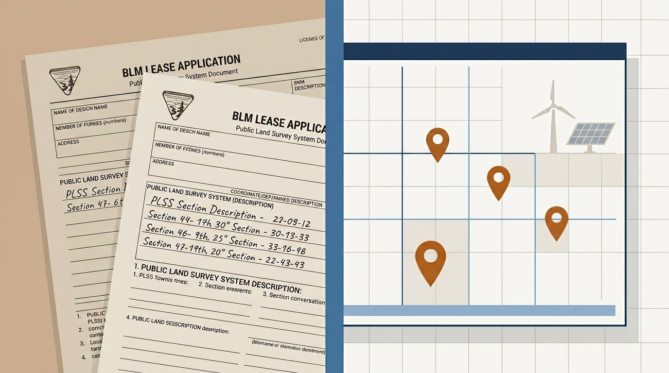
A solar developer in Colorado is ready to file a right-of-way application with the Bureau of Land Management. The project spans 4,800 acres of federal land east of the Front Range, covering 30 sections that need to be listed by township, range, and section number in the SF-299 application. Every quarter section in the lease area requires a correct PLSS legal land description tied to the right principal meridian. One wrong section number, and BLM sends the application back. Weeks lost, financing timelines disrupted. This is the reality of PLSS renewable energy siting on federal land.
How BLM Manages Solar and Wind Leasing
All federal land managed by BLM is surveyed under the Public Land Survey System (PLSS). When a developer applies for a solar or wind energy right-of-way under Title V of FLPLA, the application must include the complete legal land description for every parcel in the project footprint. That means specifying the township, range, section, and quarter section for each piece of land, referenced to the correct principal meridian.
BLM's competitive leasing program for solar and wind has accelerated since the Inflation Reduction Act. Designated leasing areas across Wyoming, Nevada, Colorado, New Mexico, and Arizona are all defined by their PLSS coordinates. The BLM Solar Energy Program tracks these parcels at the section level. A utility-scale solar project might cover 20 to 40 sections, meaning 20 to 40 individual PLSS descriptions that must be correct on the application.
Why Accuracy on a BLM Lease Application Is Non-Negotiable
A BLM right-of-way application (SF-299) that contains an incorrect legal land description gets rejected at initial review. The applicant must correct and resubmit. For a solar project in a competitive leasing area, that delay can mean losing priority in the queue.
Here is what goes wrong in practice:
- Wrong principal meridian reference. Wyoming has two principal meridians: the Wind River Meridian and the Sixth Principal Meridian. A section described as T21N R105W referenced to the Sixth Principal Meridian instead of the Wind River Meridian places the project in an entirely different part of the state.
- Transposed township or range numbers. T21N R105W Sec 4 in the Wind River Meridian is in Fremont County. Transpose the range to R150W and the description is invalid; that range does not exist.
- Missing quarter section detail. Some BLM applications require quarter-section-level descriptions for the specific footprint within a section. Omitting the NE or SW quarter when it is required means an incomplete filing.
These are not hypothetical problems. BLM's own internal guidance notes that incomplete or incorrect legal land descriptions are among the most common reasons for right-of-way application returns. For teams that need to trace a parcel back to the original federal patent (common in lease verification), BLM's GLO Records archive holds every land patent and survey plat since 1812. Tools that estimate coordinates from grid math rather than actual BLM survey data compound the risk. Construction permits in PLSS states carry the same risk. If you are new to reading these descriptions, our field guide to legal land descriptions on construction permits breaks down each component.
The Scale of PLSS Renewable Energy Siting
The numbers are significant. Colorado's State Land Board has over 600 MW of solar and wind projects in various stages of permitting, and each project references PLSS-defined parcels. Wyoming's Wind Energy Development Areas span hundreds of sections across the Wind River Meridian and Sixth Principal Meridian. Nevada's solar energy zones near the Las Vegas area are defined section by section under the Mount Diablo Meridian.
A single utility-scale wind farm in Wyoming might include:
- T21N R105W Sec 4, Wind River Meridian: turbine cluster A
- T21N R105W Sec 5, Wind River Meridian: turbine cluster B
- T21N R105W Sec 8, Wind River Meridian: access road and substation
- T21N R105W Sec 9, Wind River Meridian: interconnection corridor
Each of those descriptions needs to be verified against actual GPS boundaries before filing. Does the section boundary align with the proposed turbine layout? Does the access road actually cross Section 8, or does it clip into Section 7? Getting this wrong means amending the application after BLM review, a process that can add 60 to 90 days.
Batch Workflows for Siting Teams
Renewable energy siting teams typically work with 20 to 50 PLSS descriptions per project. Some larger portfolios involve hundreds. Manually converting each description to GPS coordinates, checking boundaries, and exporting to GIS formats is a full day of work for a land agent.
A faster approach: upload a CSV of all PLSS descriptions in the project area, convert them to GPS coordinates in one step, and export the results as KML or Shapefile for direct import into the site plan. The siting team gets a visual overlay of every section boundary against the proposed facility layout: turbines, panels, access roads, and transmission corridors all checked against the actual PLSS grid.

This workflow matters especially during the environmental review phase, when BLM requires precise acreage calculations by section. If the legal description says Section 9 but the panel array actually extends into Section 16, the environmental assessment has to be revised.
An Underserved Vertical
Most existing PLSS tools were built for oil and gas or real estate, industries that typically work with individual quarter sections. Renewable energy developers have a different need: they work with contiguous blocks of 20 to 40 sections, need batch processing, and require export formats compatible with engineering and environmental GIS tools. Construction teams face a similar challenge during spring groundbreaking season, when county permits reference PLSS descriptions that field crews need converted to GPS before equipment rolls.
The gap is real. Developer forums and BLM pre-application meetings consistently surface the same complaint: there is no good tool for converting a full solar or wind lease area from PLSS to GPS coordinates in bulk.
Getting It Right Before You File
If your team is preparing a BLM solar or wind right-of-way application, accurate PLSS coordinates are the foundation of the filing. Every section, every quarter section, every principal meridian reference needs to be correct the first time.
Township America's batch converter and API are built for exactly this kind of work: converting dozens or hundreds of PLSS descriptions to GPS coordinates, exporting to KML, Shapefile, or GeoJSON, and verifying boundaries before the application goes to BLM. Teams with Python-based GIS pipelines can also use the townshipamerica Python SDK to automate these conversions programmatically. Built on official BLM PLSS data, covering all 30 PLSS states and all 37 principal meridians.
For a deeper look at the specific SF-299 form requirements, principal meridian selection by state, and pre-submission validation workflows, see BLM Federal Land for Renewable Energy: A Developer's PLSS Permit Guide.