
Why 'Approximate' Isn't Good Enough: PLSS Conversion Accuracy Explained
An accurate PLSS converter matters for drilling permits, title searches, and FSA filings. Learn how coordinate-offset errors happen and why BLM CadNSDI data is the standard.
An Application for Permit to Drill lands on a BLM reviewer's desk in Casper, Wyoming. The well site reads T4N R5E Sec 12 NE¼, 6th Principal Meridian, but the GPS coordinates on the form point to a location 1.3 miles northwest, in the wrong quarter section entirely. The reviewer sends the APD back. The operator resubmits. The field crew's schedule slips by two weeks. The cause: the landman used an online converter that returned approximate coordinates instead of pinning to the actual parcel center. An accurate PLSS converter would have caught the discrepancy before the form was ever filed.
This is not a rare edge case. Coordinate-offset errors from approximate tools are one of the most common reasons PLSS-based filings get kicked back: drilling permits, title commitments, and FSA acreage reports alike.
What "approximate" actually means
Most free PLSS lookup tools calculate coordinates using a formula: take the township and range grid, divide it into a 6×6 section grid, and estimate the center of the requested section or quarter section using simple math. This works if the survey grid is perfectly regular: 36 square-mile townships, each with 36 identical 640-acre sections.
But the PLSS was surveyed over 200 years by thousands of different surveyors. In practice:
- Sections are not uniform. Convergence of meridians, survey errors, and natural boundaries mean many sections are irregular. A section along a river or state border may be 580 acres, not 640.
- Quarter sections shift. When the section is irregular, the quarter section boundaries shift with it. The NE¼ of an irregular section is not where simple math says it should be.
- Government lots exist. Fractional lots along rivers, lakes, and borders have unique boundaries that no formula can predict.
An approximate converter ignores all of this. It places a pin where the parcel should be if the grid were perfect. The actual parcel, as surveyed and recorded by the BLM, may be hundreds of meters away. For a 40-acre quarter-quarter section, that offset can land the pin in the wrong parcel entirely.
BLM CadNSDI: the authoritative source
The Bureau of Land Management maintains the Cadastral National Spatial Data Infrastructure (CadNSDI), a GIS dataset containing the actual surveyed boundaries of every PLSS township, section, and quarter section across all 30 PLSS states. This is not a calculated grid. It is the digitized record of the original government surveys, corrected and maintained by BLM cadastral surveyors.
When a federal agency, state land office, or title company needs to verify a PLSS location, CadNSDI is the reference. It is the same dataset that BLM field offices use to adjudicate oil and gas leases, the same data FSA uses to define Common Land Units for crop insurance, and the same source that state surveyors reference for boundary disputes.
An accurate PLSS converter built on CadNSDI data returns the actual parcel centroid, not an estimate. The difference matters most where the survey grid is most irregular: along rivers, near state boundaries, in areas with overlapping survey systems like Ohio, and anywhere government lots replace standard quarter sections.
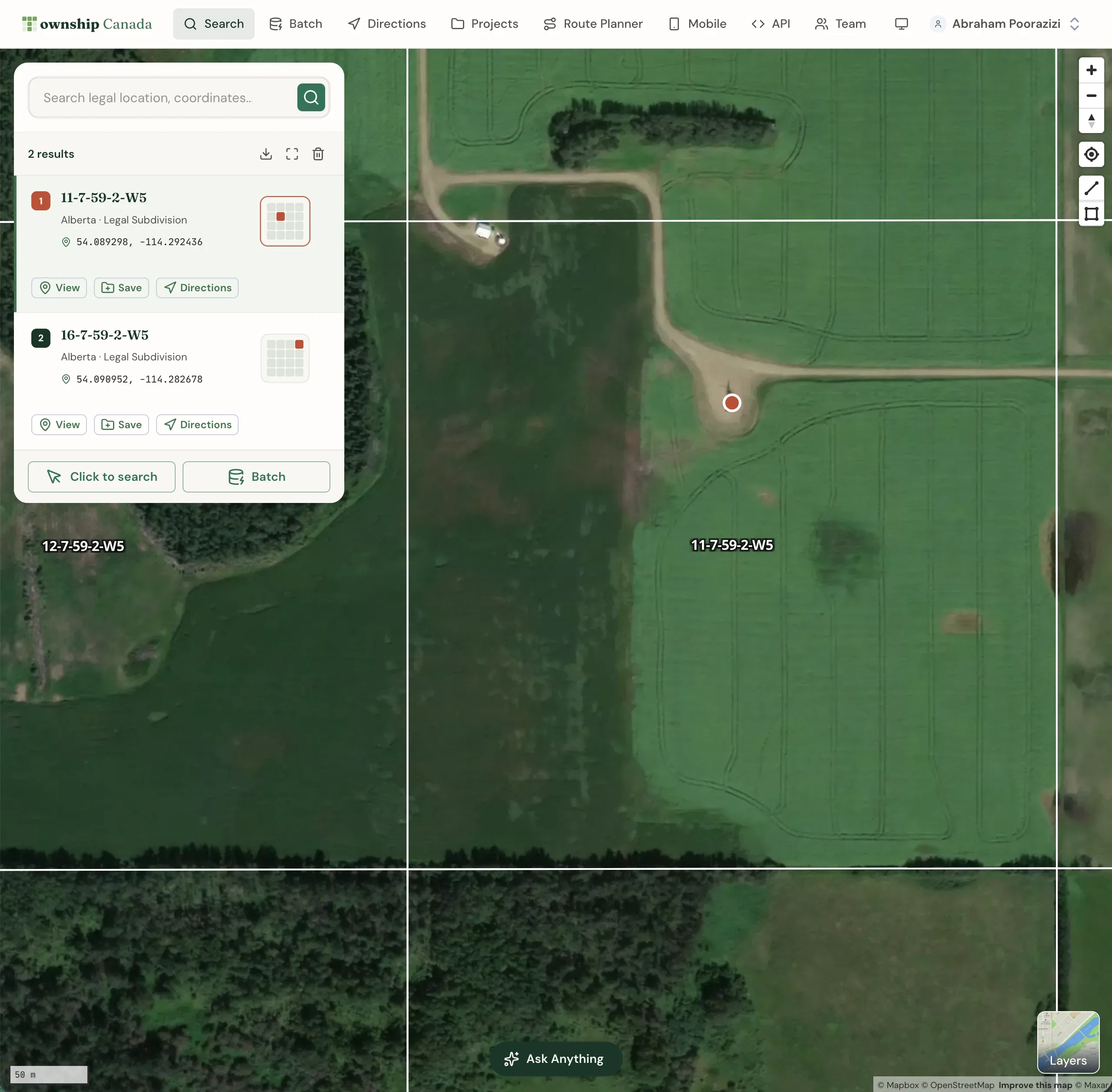
A real example: Section 27, T18N, R28W, 6th Principal Meridian
Take a specific section in Nebraska: Section 27, Township 18 North, Range 28 West, referenced to the 6th Principal Meridian. An approximate converter calculates the center of the section by dividing the township into a uniform 6×6 grid and dropping a pin. A CadNSDI-based converter returns the centroid of the actual surveyed section polygon.
In a perfectly regular township, the two points might be close. But sections in western Nebraska often have irregular boundaries due to convergence corrections and natural features. In many cases, the offset between the calculated point and the actual parcel center exceeds 200 meters. For a landman filling out an APD, a title examiner mapping a lease, or a surveyor checking a boundary, 200 meters is not a rounding error. It is the wrong location.
When accuracy matters most
Some use cases tolerate rough approximations. A genealogy researcher looking up a great-grandfather's homestead claim does not need sub-meter precision. But for the professionals who rely on PLSS coordinates daily, approximate is a liability:
- Drilling permits (APDs). The BLM and state oil and gas commissions require GPS coordinates that match the legal description. A coordinate that plots in the wrong quarter section triggers a resubmission. For a company running 50 APDs per week, even a 5% error rate means two or three rejected filings every week.
- Title searches. A title examiner mapping mineral rights needs to know exactly which 40-acre tract a deed covers. If the converter places the NE¼ of Section 12 in the N½ of the NE¼, the title chain for that tract is compromised.
- FSA filings and crop insurance. Every crop insurance policy and acreage report ties to a specific CLU defined by its PLSS quarter section. A wrong quarter section on a loss claim means the adjuster drives to the wrong field.
- Surface leases and pipeline routes. A pipeline survey covering 2,000 PLSS locations cannot afford offset errors that place the route across the wrong landowner's property. Surface access negotiations depend on accurate parcel identification.
- BLM renewable energy applications. Solar and wind siting on federal land requires precise section-level descriptions in the SF-299 application. Errors mean the application is returned.
How to verify your converter's data source
Before relying on any PLSS converter for professional work, ask one question: where does the coordinate data come from?
If the answer is "calculated from the township-range grid" or "based on the standard PLSS grid dimensions," the tool is returning approximations. If the answer is "BLM CadNSDI survey data," the coordinates reflect the actual surveyed boundaries.
A few checks you can run:
- Test an irregular section. Pick a section along a river or state boundary, somewhere you know the grid is not regular. Convert a quarter section and compare the result to the BLM's own GeoCommunicator or a known survey plat. An approximate tool will show a noticeable offset.
- Check government lots. Enter a government lot (e.g., Lot 1, Section 6) instead of a standard quarter section. Approximate tools often cannot handle government lots at all, because there is no formula for their boundaries.
- Compare two meridians. Enter the same township and range (say, T4N R5E) under two different principal meridians. An accurate tool will return two locations hundreds of miles apart. A poorly built tool may ignore the meridian entirely.
The cost of getting it wrong
A rejected APD costs an operator two to four weeks of delay and the associated carrying costs on the lease. A title error on a mineral deed can trigger litigation. An FSA filing with the wrong quarter section delays crop insurance payouts during the growing season when farmers need them most.
These are not abstract risks. They are the daily reality for landmen, title examiners, surveyors, and agricultural professionals who work with PLSS legal land descriptions.
Township America's PLSS converter is built on official BLM CadNSDI data, the same source federal and state agencies use. Every conversion returns the surveyed parcel centroid, not a calculated estimate. It covers all 30 PLSS states and all 37 principal meridians, from the Indian Meridian in Oklahoma to the Wind River Meridian in Wyoming. For teams processing volume, the API and batch converter handle hundreds of descriptions at once. The data source is always BLM CadNSDI.
When the filing has to be right the first time, approximate is not good enough.