PLSS and Crop Insurance: Verify Your Quarter Sections Before the Filing Deadline
PLSS crop insurance filings require exact quarter section descriptions. Learn how to verify legal land descriptions before spring deadlines.
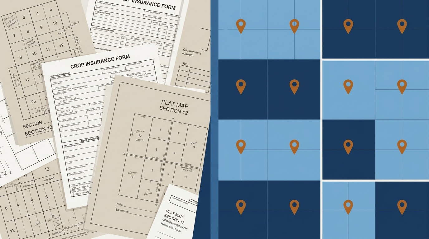
A crop insurance adjuster is working a freeze damage claim in California's Central Valley. The loss notice reads "NESW 25 5N 30E Mount Diablo Meridian." Before the claim moves forward, the adjuster needs to confirm that the field on the ground matches the legal land description on the filing. One wrong quarter section (NW instead of NE) and the claim covers 40 acres of someone else's almonds. This is where PLSS crop insurance accuracy stops being a technicality and starts being a financial problem.
Spring is when it all stacks up. USDA ARC/PLC elections, crop insurance sign-up, RCPP enrollment, and FSA acreage reporting all peak between March and April. Every one of these programs ties directly to specific quarter sections, aliquot parts of the PLSS grid, identified by their legal land descriptions. Get the description wrong, and the filing is either rejected or, worse, approved for the wrong parcel.
Why PLSS Accuracy Matters for Crop Insurance
The Federal Crop Insurance Corporation (FCIC) and private crop insurance providers both rely on Common Land Units (CLUs) to define insured fields. A CLU is tied to a specific PLSS quarter section or subdivision. When a farmer files an acreage report or a loss claim, the legal land description on the form must match the CLU boundaries in the FSA system.
Here is what goes wrong in practice:
- Transposed township or range numbers. A filing that reads T9N R15W instead of T9N R14W, Sixth Principal Meridian, shifts the location six miles west, into a different field, possibly a different county. The claim gets flagged during adjustment.
- Wrong quarter section. SW¼ and NW¼ of Section 22 share a section boundary but cover entirely different 160-acre tracts. If the loss adjuster drives to the NW quarter based on a filing error, the damaged field is a half mile south.
- Missing or incorrect principal meridian. Kansas uses the Sixth Principal Meridian. Nebraska uses both the Sixth Principal Meridian and the extended Indian Meridian baseline system. Omitting the meridian creates ambiguity in cross-state operations.
These errors cause claim disputes, delayed payouts, and resubmissions. The problems multiply when an adjuster is handling dozens of claims during a single hail event. Approximate converters that calculate coordinates from the grid rather than actual survey data make these errors more likely. Here's how to tell the difference.
Spring Deadlines Make Verification Urgent
The crop insurance calendar does not offer much margin. Key dates for the 2026 crop year:
- March 15: Sales closing date for spring-planted crops in most PLSS states (corn, soybeans, grain sorghum)
- April 15: Final planting date reporting for many crops
- March–April: ARC/PLC election window and RCPP enrollment deadlines
Every one of these filings references specific quarter sections. An FSA office processing acreage reports for a county with 4,000 farm tracts needs every legal land description to be correct. A crop insurance agent writing policies across three Kansas counties (say, 200 quarter sections total) cannot afford to hand-verify each one against a paper plat book.
A Real Example: Kansas Farm Operation Across Two Sections
Consider a farm operation in central Kansas with fields spread across two sections, all referenced to the Sixth Principal Meridian:
- NE¼ of one section: 157 acres of irrigated corn
- SW¼ of that same section: 160 acres of dryland soybeans
- NW¼ of the adjacent section: 155 acres of winter wheat
- SE¼ of the adjacent section: 160 acres of grain sorghum
The farmer's crop insurance policy covers all four quarter sections. The adjuster working a hail loss needs to confirm each CLU boundary matches the GPS coordinates of the actual damaged field. If the acreage report lists NE¼ Section 14 but the damaged corn is actually in the NW¼, the claim stalls until the paperwork is corrected.
Converting each of those four PLSS descriptions to GPS coordinates confirms the field location before the adjuster drives out. No guessing, no relying on a county road atlas that was last updated in 2014.
Batch Verification for Insurance Agents and FSA Offices
A single farm is four quarter sections. A crop insurance agent covering a county handles hundreds. An FSA office managing ARC/PLC elections for an entire county might process 2,000 or more CLU records in a season.
The batch workflow handles this at scale: upload a CSV of PLSS descriptions, get GPS coordinates and section boundaries back in seconds. Every coordinate is calculated from official BLM PLSS data, the same dataset that FSA uses to define CLU boundaries.

For a crop insurance agency verifying field locations across multiple counties, the process looks like this:
- Export the quarter section list from the agency management system
- Upload the CSV to Township America's batch converter
- Download the results as KML or Shapefile (Business) for overlay in Google Earth or GIS
- Flag any locations where the GPS pin does not match the expected field
This catches transposition errors and wrong quarter sections before they become claim disputes.
How FSA Offices Cross-Check Field Boundaries
FSA county offices use PLSS legal land descriptions as the backbone of their record-keeping. When a farmer enrolls in ARC or PLC, the election is tied to specific CLU tracts identified by section, township, range, and quarter section. When an FSA analyst needs to verify that a CLU boundary is correct, or reconcile a discrepancy between two overlapping records, they need the GPS coordinates for that PLSS description.
The same applies to conservation programs like CRP and RCPP, where payment eligibility depends on the exact acreage within a defined PLSS parcel. A quarter section that straddles a county line or a river boundary may have an irregular government lot designation. Getting the precise boundary polygon, not just the center point, matters for these programs.
Verify Before You File
If your agency is preparing crop insurance policies for the spring planting season, or your FSA office is processing ARC/PLC elections, accurate PLSS verification is the difference between clean filings and weeks of corrections.
Township America's PLSS converter handles individual lookups: paste a quarter section description, get the GPS coordinates and a map pin. For volume work, the batch converter and API process hundreds of descriptions at once, with results exported in CSV (all plans) or KML and Shapefile format (Business). Every conversion is built on official BLM data, covering all 30 PLSS states and all 37 principal meridians. The agriculture industry page has more on how farm operations and FSA offices are using Township America for PLSS crop insurance verification at scale.