BLM GLO Records in 2026: A Practical Guide for Landmen and Title Examiners
How to use BLM GLO records for title research in 2026. Step-by-step guide to finding land patents, reading field notes, and converting legal descriptions to GPS.
You are three days into a title search in the Permian Basin. The chain of title traces back to an 1890s homestead patent, and the county recorder's office has nothing before 1920. The missing link (the original patent from the General Land Office) is sitting in a federal archive that has been online for over two decades. Knowing how to pull it, read it, and connect it to a modern legal description is the difference between a clean title opinion and a gap that stalls the deal.
The Bureau of Land Management's GLO Records portal holds 214 years of land patents, survey plats, and field notes dating back to the creation of the General Land Office in 1812. In 2026, with BLM marking its 80th year since taking over the GLO's responsibilities in 1946, this archive remains one of the most underused tools in title examination.
What the GLO Archive Contains
The BLM GLO Records site (glorecords.blm.gov) provides free access to three categories of documents that matter for title work:
Land patents. The original conveyance from the federal government to the first private owner. Every homestead, cash sale, military bounty, railroad grant, and mineral patent is recorded here. A patent for T22S R35E Sec 16, New Mexico Principal Meridian, tells you exactly when the land left federal ownership, who received it, and under what authority.
Survey plats. The original township plat maps drawn by GLO surveyors. These show section lines, quarter section corners, topographic features, and any notes about soil quality, timber, or water the surveyor recorded. For a township like T4N R68W, 6th Principal Meridian, in eastern Colorado, the plat may show details that no modern map preserves.
Field notes. The surveyor's handwritten record of what they measured, saw, and marked. Field notes describe bearing trees, witness corners, monuments set, distances measured, and terrain crossed. For title examiners working boundary disputes, these notes are primary evidence of the original survey.
Finding the Original Patent for a Specific Parcel
Start with the legal description from your title abstract. Say you need the patent history for T14N R12W Sec 22, Choctaw Meridian, in Mississippi.
- Go to glorecords.blm.gov and select "Search Documents."
- Choose "Patents" as the document type.
- Enter the state, principal meridian, township, range, and section. For this example: Mississippi, Choctaw Meridian, Township 14 North, Range 12 West, Section 22.
- The results list every patent ever issued for land within that section, possibly spanning 1830 to 1930.
- Download the patent image. It shows the patentee name, date, acreage, legal authority (Homestead Act, Cash Entry, etc.), and the full legal description.
For sections with multiple patents, each one covers a different aliquot part. Section 22 might have four separate patents, one for each quarter section, issued to different homesteaders over a 30-year period.
Reading Field Notes: What Surveyors Recorded
GLO field notes are structured documents that follow a standard format. For a section line between Section 15 and Section 22, the surveyor recorded:
- Bearing and distance between corners (e.g., "North 80 chains" between the south quarter corner and the north quarter corner)
- Bearing trees: trees marked as witness points, identified by species, diameter, bearing, and distance from the corner
- Terrain notes: "level prairie," "rolling hills with scattered timber," or "swamp, impassable"
- Corner descriptions: the type of monument set (stone, mound, post) and its dimensions
For modern title work, the critical detail is the corner description. If you are resolving a boundary question, the field notes tell you exactly what the surveyor placed at T14N R12W Sec 22's corners and what natural features they referenced. A bearing tree described as "White Oak, 14 inches diameter, bears N 45° E, 28 links" is a physical marker that a modern surveyor can sometimes still locate.
Converting Historical Descriptions to GPS Coordinates
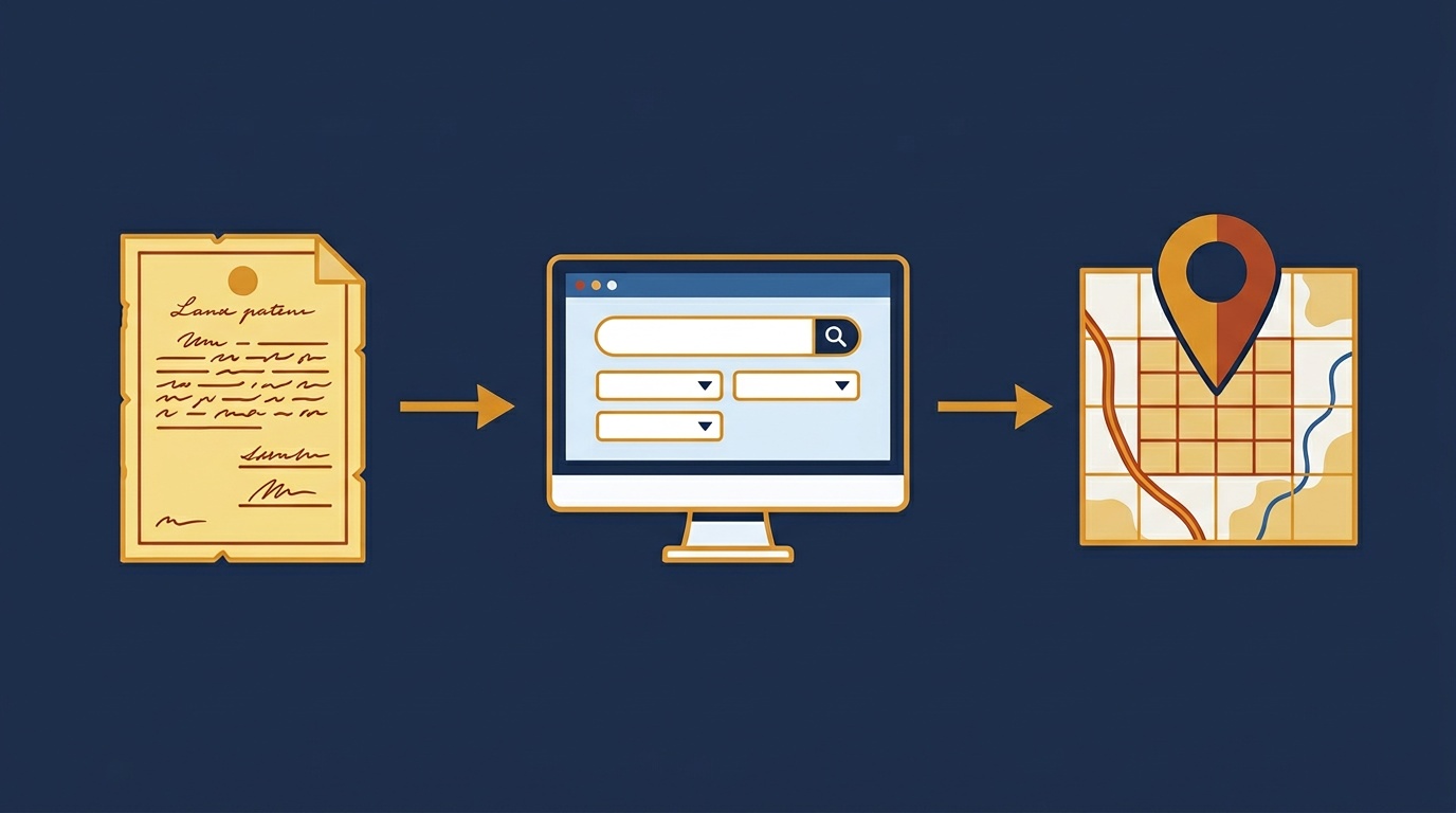
Here is where historical research becomes actionable. You have the patent, you know the legal description, and now you need to place it on a modern map, whether for a title opinion, a lease check, or a drilling permit.
The legal description on a GLO patent uses the same PLSS format used today. T14N R12W Sec 22, Choctaw Meridian, converts directly to latitude and longitude coordinates using Township America's PLSS converter. Enter the description, get the centroid coordinates and section polygon boundary. The BLM GLO records tell you who owned the land and when. The coordinate conversion tells you where it is on the ground today.
This step matters more than it sounds. County records often reference the same parcel by a street address or a local subdivision name that did not exist when the patent was issued. Connecting the 1890 patent description to a modern GPS location confirms that you are looking at the right parcel, and that the chain of title is continuous.
Batch Workflows for Multi-Township Title Searches
A title search rarely covers a single section. Mineral title work in a basin like the Permian or the Williston often spans dozens of sections across multiple townships. A landman researching BLM lease holdings might need patent histories for every section in T22S R35E and T22S R36E, New Mexico Principal Meridian. That is 72 sections.
Pulling patents section by section works for a single parcel. For 72 sections, you need a different approach:
- Export your list of legal descriptions from the title plant or lease database as a CSV.
- Upload the CSV to Township America's batch converter to convert every description to GPS coordinates in one step.
- Export the results as KML or Shapefile for overlay in your GIS platform.
- Cross-reference the GPS-located sections with the GLO Records search to pull patents for each parcel.
This turns a multi-day manual process into something you can finish in an afternoon. The coordinate data lets you visually confirm that your title search area matches the actual PLSS grid, catching range transposition errors (T22S R35E vs. T22S R53E) before they contaminate the title opinion.
The API for Programmatic Lookups
Land departments that run title searches at volume (dozens of projects per month, hundreds of parcels each) build this into their internal systems. The Township America API takes a PLSS legal description and returns GPS coordinates, GeoJSON boundaries, and county information in a single call. Feed it the descriptions from your GLO patent research, get back the coordinates your GIS team needs.
For a title plant maintaining a database of historical patents indexed by legal description, adding GPS coordinates to each record makes the entire archive searchable by location, not just by township and range numbers.
Making GLO Records Work for You
The BLM GLO Records archive is free, well-stocked, and online. The challenge has never been access. It has been connecting 19th-century survey records to modern workflows that run on coordinates, not just legal descriptions.
Start with the patent. Read the field notes if the boundary matters. Then convert the legal description to GPS coordinates so the historical record has a precise location on today's map. Whether you are closing a title opinion in Mississippi or researching mineral rights across a New Mexico basin, that connection between the original survey and a modern coordinate is what turns archival research into work product.
Try the PLSS converter with a legal description from your next title search, or upload a batch of descriptions from your current project through the batch conversion tool.