BLM GLO Records in 2026: What's New and How to Use Them
The BLM General Land Office records system turns 80 in 2026. Here's what's changed, how to search GLO records, and how to convert survey plat descriptions to latitude and longitude.
You are researching a mineral title in eastern Montana. The chain of title leads back to an 1898 homestead patent, the original federal land grant recorded by the General Land Office. You pull up the BLM GLO Records site, search by legal description, and find the patent image: E1/2 NW1/4 Sec 14, T7N R48E, Principal Meridian, Montana. That single document is the starting point for every deed, lease, and mineral conveyance that followed over the next 128 years. Without it, the title chain has no anchor.
The Bureau of Land Management's GLO Records system, formally the Land & Mineral Records database, is the authoritative federal repository for original land patents, survey plats, field notes, and land status records across all 30 PLSS states. In 2026, BLM marks 80 years since its creation from the old General Land Office, and the records system remains the first stop for title examiners, landmen, and anyone tracing land ownership back to the federal government.
What GLO Records Actually Contain
The BLM GLO Records database holds four categories of documents that matter for title research and boundary work:
Land patents. The original conveyance from the federal government to a private owner. Every parcel of federal land that passed into private hands has a patent on file. This includes homestead entries, cash sales, military bounty warrants, railroad grants, and mineral patents. Each patent lists the legal land description in PLSS format: Section, Township, Range, and principal meridian.
Survey plats. The official maps drawn by the original government surveyors. A township plat shows all 36 sections, government lots, meander lines along rivers and lakes, and notes on terrain. These plats are the geometric foundation of the PLSS grid; every legal land description traces back to them.
Field notes. The surveyor's written record of what they found in the field: bearing trees, soil types, distances measured, section corner monuments set. Field notes are the primary evidence when a boundary dispute comes down to where the original surveyor actually placed the corner.
Land status records. Current ownership and encumbrance records for federal land: who holds the patent, whether mineral rights were reserved, and what withdrawals or classifications apply.
BLM at 80: What's Changed for Record Access
When the General Land Office merged into BLM in 1946, its records moved to the National Archives and BLM state offices. For decades, accessing a GLO patent meant writing to the Eastern States Office in Springfield, Virginia, and waiting for a certified copy.
The shift to digital access started in the early 2000s, and by 2026 the BLM Land & Mineral Records system has improved meaningfully:
- Full-text search by legal description. Enter a Township, Range, Section, and meridian to pull every patent, plat, and field note for that parcel. The system handles standard PLSS notation (T7N R48E Sec 14, Principal Meridian, Montana) and returns scanned images of the original documents.
- Survey plat downloads. Township plats are available as high-resolution images. You can view the original surveyor's drawing of section lines, government lots, meander lines, and fractional sections without requesting a physical copy.
- Statewide coverage. All 30 PLSS states and all 37 principal meridians are searchable. Whether you need a patent from the Indian Meridian in Oklahoma or a survey plat from the Willamette Meridian in Oregon, it is in the system.
- Master Title Plat integration. BLM's Master Title Plats (the current-status overlay showing patents, withdrawals, and classifications for each township) are accessible alongside the historical GLO records.
The system is not perfect. Navigation can be slow, search syntax is particular, and the scanned documents vary in quality. But the data is there, and it is free.
How to Search GLO Records: A Practical Walkthrough
Start at the BLM General Land Office Records site. The search interface offers several paths:
Search by legal description. This is the most common workflow for title examiners. Enter the state, principal meridian, township, range, and section. The system returns all patents associated with that parcel. For a mineral title search, this is how you find the original patentee: the person or entity that first received title from the federal government.
Search by patentee name. If you know the original landowner's name from a later deed in the chain, you can search by name to find all patents issued to that person. This is useful when tracing a family's land holdings across multiple sections.
Survey plat lookup. Select the state, meridian, township, and range. The system returns the original township plat and any resurvey plats. You get the surveyor's map showing section boundaries, government lots, meander lines, and topographic notes.
Field notes retrieval. Accessed through the same township-level lookup. Field notes document the surveyor's observations at each section corner: distances, bearing trees, monuments. In boundary disputes, these notes can be more authoritative than the plat drawing itself.
A practical example: you are examining title on NW1/4 Sec 22, T15N R2E, Sixth Principal Meridian, in Kansas. You search by that legal description and find a homestead patent issued in 1872. The patent image shows the patentee's name, the legal description, the acreage, and the patent number. That is your starting point for the forward title search through county records.
Reading a GLO Survey Plat
Survey plats pack a lot of information into a single sheet. Here is what to look for:
Section lines and numbering. Each township plat shows the standard 36 sections in the familiar serpentine numbering pattern: Section 1 in the northeast corner, Section 6 in the northwest, Section 36 in the southeast. Some townships have fractional sections along the north and west boundaries where the grid did not close perfectly.
Government lots. Where sections border navigable water, the standard quarter-section division does not apply. Instead, the surveyor created government lots: irregularly shaped parcels that follow the meander line of the river or lake. Government lots appear as numbered parcels on the plat, each with its own acreage notation.
Meander lines. The surveyed line that approximates the bank of a navigable body of water. Meander lines are not property boundaries (the actual boundary is the water's edge), but they define the shape of government lots and fractional sections on the plat.
Surveyor's notes. Plats often include marginal notes about terrain, timber, soil quality, and access. These annotations are historical artifacts, but they also provide evidence about the original landscape when boundary questions arise.
Converting GLO Descriptions to Coordinates
A GLO patent or survey plat gives you a legal land description. It does not give you latitude and longitude. For most modern workflows (mapping the parcel in GIS, cross-referencing well data, verifying a title opinion against aerial imagery), you need coordinates.
This is where the gap between the 19th-century survey record and the 21st-century workflow gets real. The legal description on an 1898 patent says E1/2 NW1/4 Sec 14, T7N R48E, Principal Meridian, Montana. Where is that on a map?
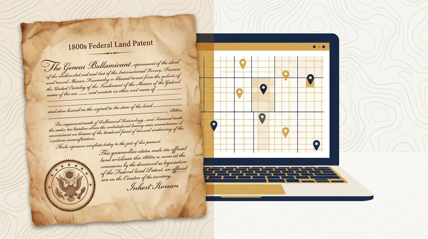
Township America converts PLSS legal descriptions, including the formats found in GLO patents and survey plats, to latitude and longitude using official BLM survey data. Enter the description from the patent, and you get the parcel centroid coordinates and boundary polygon back in seconds. The same BLM survey data that underlies the GLO Records system is what powers the conversion, so the coordinates align with the original survey grid.
For title examiners and landmen working through a stack of GLO patents, the batch converter handles the volume. Upload a CSV of legal descriptions pulled from patent records, convert them all at once, and export the results to GIS for overlay against current parcel maps. Teams running these lookups programmatically can use the PLSS API, the same workflow landmen use for APD filings works for GLO patent research at scale.
Use Cases: Title Research, Boundary Disputes, and Mineral Rights
Title examination. Every title opinion starts with the original patent. GLO Records provide the anchor document, and the PLSS legal description connects it to every subsequent conveyance. When a title examiner finds a gap (a deed that references Section 15 when the patent says Section 14), the GLO record is the tiebreaker. Understanding how the PLSS grid works makes it easier to spot these discrepancies before they become title defects.
Boundary disputes. When neighboring landowners disagree on a boundary, the surveyor goes back to the original GLO survey plat and field notes. Where did the government surveyor set the section corner? What bearing trees did they reference? The GLO record is the primary evidence. Converting those historical descriptions to modern coordinates lets the surveyor overlay the original survey data on current aerial imagery.
Mineral rights documentation. Mineral rights trace directly back to GLO patents. Whether the original patent reserved minerals to the government or conveyed them to the patentee determines who holds the mineral estate today. Landmen researching mineral title in states like Oklahoma, North Dakota, and Wyoming start with GLO Records and work forward through a century of deeds, reservations, and assignments, every one of them referencing the same PLSS grid.
Start With the Record
BLM GLO Records are public, free, and searchable. If you work with land titles, mineral rights, or boundary questions in any of the 30 PLSS states, these records are where the ownership story begins. The federal survey created the grid. The patents transferred the land. Every transaction since then references back to those original descriptions.
When you need to take a GLO legal description and place it on a modern map, try the PLSS converter, enter the description from any patent or plat, and get coordinates back in seconds.