Wyoming PLSS Legal Descriptions: The 6th Meridian Guide
Read a Wyoming PLSS legal description for Powder River and Wind River Basin work: the 6th Principal Meridian, BLM field office routing, and APD filing errors to avoid.
Field season in Wyoming peaks in May and June, and so does the APD backlog. A landman running title on a Powder River Basin well has minutes, not hours, to confirm that a Wyoming PLSS legal description points at the right section before the application goes to the Bureau of Land Management. Get the Range backwards and the filing routes to a field office 200 miles from the wellbore. This guide walks through how Wyoming's grid is built, where the active basins sit, and the description errors that send Form 3160-3 back for resubmission.
One meridian covers the whole state
Wyoming is unusual: a single principal meridian governs the entire state. Every Township and Range, from the Nebraska line to the foot of Yellowstone, is counted from the 6th Principal Meridian, whose initial point is a brass cap in Republic County, Kansas. That simplifies one thing: you never have to ask which meridian applies in Wyoming. But it also means Township and Range numbers do the entire job of locating a parcel, so a single transposed digit moves you across the state. For a refresher on how the grid is built, the PLSS reference covers townships, ranges, and aliquot parts.
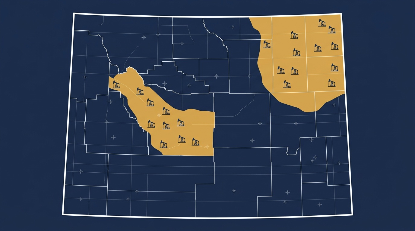
Powder River Basin: where the volume is
The Powder River Basin is the busiest drilling region in the state, spread across Campbell, Converse, and Crook counties. Its townships run roughly T49N–T57N, R60W–R80W. Take T49N R73W Sec 22, 6th Principal Meridian: that places you in Campbell County, south of Gillette, in the heart of producing acreage.
Read the description the way the grid is built. T49N is the 49th tier of townships north of the baseline; R73W is the 73rd range west of the meridian; Sec 22 is one of the 36 one-mile sections inside that township. Add an aliquot part (NE¼SW¼ Sec 22) and you read it right to left: the northeast quarter of the southwest quarter, a 40-acre parcel, not 160. At in-fill spacing, that 40-acre call is the unit controlling your offset, so the aliquot part is not optional detail. You can confirm any of these against actual well placement on the Wyoming oil and gas well data pages.
Wind River Basin: Fremont and Natrona
South and west, the Wind River Basin sits under Fremont and Natrona counties: Lander, Riverton, and the western edge of Casper. A description like T33N R94W Sec 14, 6th Principal Meridian lands in Fremont County, inside the basin's productive trend. The grid logic is identical to the Powder River, but the field office routing is not, which matters the moment you file.
Government lots along the rivers
Wyoming's grid does not close evenly everywhere. Along the Platte, Bighorn, and Wind rivers, and against the northern and western township lines, the GLO surveyor recorded government lots instead of clean quarter-quarters. A call like Lot 3, Sec 6, T57N R77W is not 40 acres by default; its acreage is fixed by the original survey and lives in the township plat, not in the lot number. A title examiner who assumes Lot 3 equals NW¼NW¼ will misstate the estate. When a Wyoming PLSS legal description carries a lot number, pull the plat acreage before you rely on it.
BLM field office routing
Wyoming runs APDs through six field offices, and the Township decides which one. The rough split:
- Buffalo and Casper: most of the Powder River Basin
- Lander: the Wind River Basin (Fremont County)
- Worland: the Bighorn Basin (Park and Big Horn counties)
- Rawlins and Rock Springs: the southern and southwestern counties
Because all of Wyoming shares one meridian, the office is determined by Township and Range alone. T49N R73W files to the Buffalo or Casper jurisdiction; T33N R94W files to Lander. A wrong Range number doesn't just point at the wrong section. It can route the whole application to the wrong office, which is a queue you don't control.
APD errors that trigger resubmission
Form 3160-3 requires a complete, exact legal description: Township, Range, Section, and meridian named in full, plus the aliquot part down to the drilling unit. The errors BLM Wyoming sends back most often are predictable:
- Transposed range numbers. T49N R73W versus T49N R37W is more than 200 miles apart (36 ranges, at six miles each). The format looks valid, so it clears a visual check but fails against survey data.
- Missing or reversed aliquot parts. SW¼NE¼ and NE¼SW¼ are different 40-acre parcels in the same section.
- Approximate coordinates. Centroid math from a Township-Range formula can sit over a mile off the BLM CadNSDI survey boundary, enough to put the surface location in the wrong section.
The fix is the same for all three: validate every description against survey data before the application leaves your desk. The same discipline applies across any state APD; the broader process is covered in the PLSS APD workflow guide.
Put a description on the map
Wyoming's single-meridian grid is simple to describe and easy to get wrong by one digit. Paste any Wyoming PLSS legal description into the Wyoming PLSS converter or the general PLSS converter and you get verified latitude/longitude plus the parcel drawn on a map in seconds, no meridian lookup required.
Running a multi-section project area or a whole APD package? Need the parcel as a polygon, not just a point? Export PLSS to GeoJSON, Shapefile, or KML on Business and drop the boundaries straight into QGIS or ArcGIS before you file.